

A green and pleasant land
Herodotus the greek historian contrasted the rainy islands of Greece with the deserts further south watered only by mighty rivers fed by distant mountains hundreds of miles away. He said that the Egyptians had said:
“the day will come when the Greeks will be sadly disappointed and starve if God sees fit to send no rain and afflicts them with drought”
Writing as a Greek, he explained that they had to toil to eat, unlike the swine herding Egyptians with the mighty Nile where:
“the people get their harvests easier than anyone else in the world, no need to use plough or hoe, or the normal methods of cultivating their land; they merely wait for the river itself to flood their fields, sow their seed let their pigs trample it in and wait for harvest when the pigs again trample the ears to release the grain”
He also gathered stories that reached back nearly a thousand years and developed his own account of how their mighty river had changed over time and was not always the same and was steadily silting up even as he lived out his days. He estimated that ten thousand years hence it would silt up to such an extent that the floods would cease and the Egyptians themselves would starve . We know what happened next in that story.
2500 years after the Greeks starting telling thier proud tales the Egyptians have not yet been starved by the silting up of the Nile, and the Greeks still get some rain, but the Sahara desert is getting bigger and the climate is changing and many like me pray that the hands and heads of all men and women join together to care.
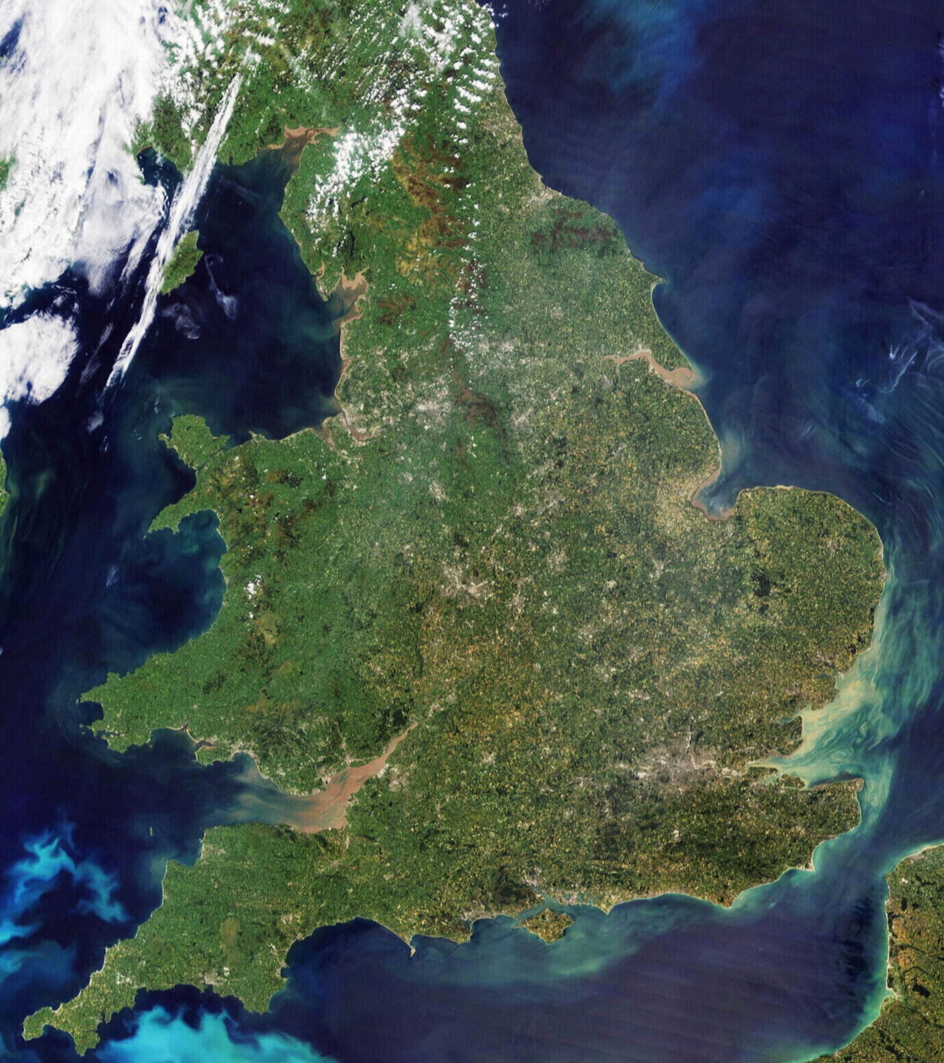

The Thames and the Cam
We will cross out of the watershed of London’s river Thames and over the hills to the Cam, we will bridge the rivers and streams that keep the fields around us green.

We start big with the Thames which we follow downstream until we turn up to follow its tributeries, the Lea and the Roding, along the clay ridge left between them. We cross the Stort where it joins the Lea and and quickly turm to meander up the valley of the smaller Ash that has cut down through the clay to reach the chalk below.
Then we reach the broad flat tops shown light blue on the map below, littered with debris left when the vast sheets of ice, that lay up here all year until twenty thousand years ago, melted and run down the valleys to flush out the London basin. The valleys are full of the mud and silt carved off that debris or clay and chalk bedrock below. All the bedrock around here was once alive, either during or since the dinosaurs. Only the occasional rock from the more ancient north of england would have been dragged this far south by the ice along with the occasional alien meteorite that has dropped through the sky above.

It would be nice to think that the rivers we cross today will be crystal clear and full of healthy life, but alas that is not quite true. The Thames and Lea used to be almost devoid of higher life, teeming with bacteria and stinking of human waste. Things have improved as we have improved our understanding of the damage we have done, but even today only one of two of the rivers whose water we cross today as we drop back down to sea level in the Cambridge catchment area, are deemed clean enough to be designated blue on the map below from the WWF.

The only blue one we cross that I might consider safe enough to drink is the Wicken water over 100 meters above the dirty languid Cam under the flat bottomed punters gliding past the backs.